Monday, June 10, 2019

A Ride to Bonanza and two failed attempts at passes.

June 8

June 8, Saturday.

Sunny skies and puffy clouds would be the order of the day today.

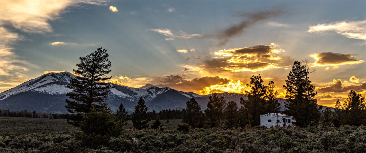
The sunrise wasn't too bad either:


Today, I rode to the old mining settlement of Bonanza....I'd seen signs for it before while on US285 but never had time or inclination to investigate.  Rode Yagi at max Ural speed (55 mph) south on US 285, being passed by all cagers as when I'm riding one of my Ural rigs.

It's 14 miles to Villa Grove and CR LL56 which leads one to Bonanza.  It's 14 miles away, the last few miles on dirt road.  Nice dirt road but dirt.  The settlement itself is a far cry from the mining town it used to be.  Now its just a small mountain house community.

It does allow access to FR 869 though, aka Otto Mears Toll Road from back in the mining days.  I thought I'd take it to see how close I got to the summit of Marshall Pass, which I believe the toll road leads to.

Road conditions were worse than on Marshall Pass Road, very rocky and rutty.  I also didn't get very far north of Bonanza.

FR 869 was washed away by the swift running Squirrel Creek, the first wash through seemed doable but the second one was the one which convinced me to turn back after looking at it:


Turning back, I tried the route to Mosquito Lake, the road wasn't too bad, still rocky and rutty but not bad.


Pretty soon you come upon the ruins of a mine, with its dilapidated wooden buildings falling apart over the years.


A bit further up, I was stopped by water again, this one was long and seemed about 2 feet deep in the middle but since I was riding alone, no sense taking the chance eh?

Note, the above crossing also stopped a Jeep, its driver was nearby eating lunch.

 Looking back towards Mosquito Lake 

As one nears the city limits of Bonanza, you can see the old site for the town of Exchequer, not much remains but a cabin with a dilapidated inside:


Heading back south from Bonanza, I turned to try to reach Ute Pass which was indicated by a sign to be 4 miles away.  The last two miles or so were basically deep ruts, huge rocks lying loose among other rocks and on a Ural it would have been a kidney buster!

Yagi handled it all just fine, she got me to within a half mile I think of the summit.

 Campsite just before the summit of Ute Pass

Having just negotiated perhaps a 1/4 of mile more of the big rocks lying on top of other big rocks, the sight I saw below stopped me and I ran out of guts.  Bock Bock Bock....I turned around and headed back down.


So, no passes summited today either.  I rode back to the BLM campsite with no issues besides being the slowest vehicle on the road.

I did some local riding of dirt roads, and found the local campsite for the logger crew that is working nearby.  The area they're currently working in looks quite devastated, with several piles of harvested logs awaiting pickup:


Saturday, June 08, 2019

Marshall Pass

June 7

Martha drove home for a social engagement this evening, she'll be back this weekend.

Another view of our campsite

I rode over to the eastern entrance to Marshall Pass Road to see if I could reach the pass summit.  It was not to be....

The road is Forest Road 200, a nice dirt road, mostly smooth with some bumps here and there; some rocks here and there but up until the last mile before the summit, quite navigable even by RV!

 Part of the Sangre de Cristo Mountain Range
visible from Marshall Pass Road.

 Mount Ouray

No issues riding the first 8 of the 10 miles to the pass summit.  The ninth mile was a bit wet with melting snow patches here and there, but nothing for Yagi to deal with.

As I came up on the last mile though, I was stopped dead by a long stretch of snow-covered road.  Nope, wasn't going to try and get across that with Yagi, not by myself anyways.  It was really slick and really soft, my boots sinking easily into it as I walked on top of the snow pack for a bit.


Nearby, there was the truck/trailer with this interesting looking vehicle lashed on top.  No one around though, so not sure why it was there.


At couple of two man side by side ATVs came roaring up and they stopped as well at the snow packed road.  Made me feel better about not trying to go further as they elected to turn around as well.  Apparently the road gets pretty rough up ahead they were told.

So I made my way back down the mountain.  Rounding a curve, I saw a flash of brown run up into to rocks; I managed to stop and walk up to this marmot who sat there looking suspiciously at me.


I pulled over once to let the racing ATVs roar their way back down the mountain and glanced to the side; noting the nice color the sun was painting the Aspen trees with at this time of day:


Views of the Sangre de Cristo Mountain Range:


 Mount Ouray again.

View of Lake O'Haver, zero cellular signal but
looks like a really nice campground.

As I made my way back towards the highway, I saw this other dirt road labeled 204 and decided to explore it.

Nice dirt road, a few little bumps on the road you have to watch out for but really pretty easy.  I took the portion of the road that kept ascending, hoping for a nice view of nearby peaks.

Instead I found this snowmobile cabin that's available for public use apparently.  I supposed it can get used for a gathering spot for the snowmobile club that maintains it.  It would also be great as shelter in a snow storm I figure.


This site also has the best cellular reception I've found in the area...four bars!  I even got a call from a college buddy and the quality of the call was great.

Riding back down 204 to 200, I ended up at the information board near the Poncha Creek Trailhead:

  Quite the extensive amount of trails for
snowmobiles in the winter...


"and don't call me Shirley...."

I did a little bit of exploring in the BLM area and found other nice campsites that offer good signal, seclusion, shade and tranquility.  I'll have to return to this area again, it's great for boondocking.

 Yagi and the Sangre de Cristo Range

A view of the URRV, from near our closest neighbor
with line of sight to the our campsite.


Friday, June 07, 2019

Boondocking near Buena Vista, Last day and Displacing to BLM site south of Poncha Pass

Wednesday, June 5

Martha decided to take her car and explore the town of Salida about twenty miles or so south of Buena Vista.

I rode Yagi to explore the BLM/National Forest areas east of the junction of US285 and US24.  Several promising sites can be seen from the US285 highway as one heads west so I thought I'd finally see as to their remote camping viability.

Took CR307, which shortly after leads one to CR308 where I saw several nice camping spots but zero cellular signal!  Bummer.  Took CR308 all the way to Kaufman Pasture where it ends at a fence line to private property.

Rode all the way back and checked out the rest of CR307, what sites I found, had no signal so for now, not usable as remote work areas for me.

I used US285 to get on CR 309 which spans a large plain and some forest land, eventually ending at a locked gate at the border to the Pike National Forest.  Found some campsites here as well but signal was nonexistent again.

Back on US285 for a bit to CR305 which apparently leads one back to the Turtle Rock Campground where the RV is located!  I didn't go all the way, the weather was turning rainy and I didn't want to be on dirt trails if they became muddy.  Did find a map though which explains all the above:


Later that afternoon, we met with a friend of Martha's from the school systems back home.  We had a drink at a Whiskey Bar in Buena Vista and the ladies chatted for a bit.

Thursday, June 6

Broke camp in the morning and we displaced about 35 miles or so to a BLM location just south of Poncha Pass on US285.  I'd stayed near the entrance before as the road into the BLM sites to the west of US285 wasn't navigable by the RV due to large ruts and such then.

Now, the road has be repaired/smoothed out and the URRV had no issues going about 1.2 miles further west and finding a really nice spot to set up camp:


We had the place pretty much to ourselves.  There were several logging trucks though in the area, hauling logs out of here to parts unknown.  You can see part of their operation from our campsite but they're far enough that we can't hear the noise they make, if any.

Tuesday, June 04, 2019

Boondocking near Buena Vista, CO - Days 1 & 2

Monday, June 3

We left before 7 AM to hopefully avoid the rush and by 10 AM we were settling in to our boondocking site near the Turtle Rock BLM Campground.  I've stayed here before, but this time my loving wife Martha came along, driving her car as she's got social commitments on Friday; but will return to me after that.

The weather ranged from bright and sunny, to stormy and rainy and then back to sunny....ah, Colorado spring weather.

 View of the Collegiate Peaks from our campsite


Tuesday, June 4.  I had checked the CDOT website and nearby (28 miles) Independence Pass was open!  I'd last ridden it two years ago, exactly, when Marta and I rode Scarlett, my 2014 Ural Patrol Sidecar Rig, to Vale across the pass to visit family friend, Barbara L.

There was more snow off the sides of the road this year than two years ago, corresponding to a harsher winter this year.  So I rode Yagi, my 2006 Yamaha TW200 to see how she'd do at altitude (she did fine).

 The surfaces of Twin Lakes was almost mirror clear...

Yagi did fine going up to the summit, never went below 4th gear at the steepest points though she did slow down quite a bit, but never to the point of the engine lugging.

At the summit, lots of cars and motorcycles using up all available spots.  I waited for a clear shot of the sign once some Harley guys finally achieved whatever results they were seeking at the sign.


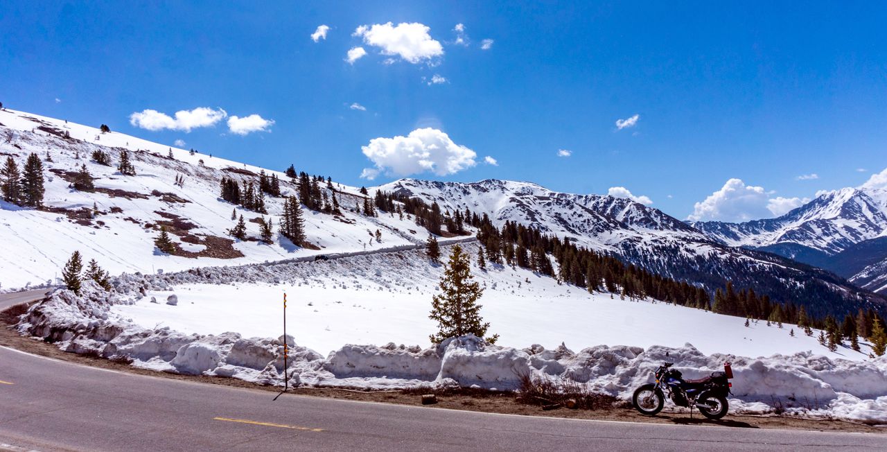
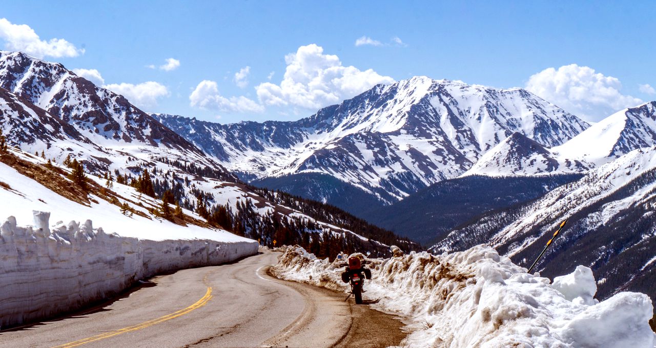
Heading back down, away from the crowded summit, I stopped where I could safely do so for pictures.


Yagi's low gearing allowed for tight u-turns to pose her as best could be done in some spots.


 Not too high, the snow accumulation, I think.


 One of several tight hairpin turns on CO Hwy 82 which
leads to Independence Pass.

 Starting the downward descent on the eastern half
of CO82.


Once back under the timberline, there was a spot of vast devastation of trees.  Apparently an avalanche had come down and basically laid waste to the Pine and Aspen trees in the area:


One last pic before heading into the town of Twin Lakes, at the entrance to the Parry Peak Campground.


Note: both Parry Peak and the neighboring campgrounds had zero cellular signal so nice locations but not if you require Internet access!

Rode on back to the RV and spent the rest of the day working and doing chores around the RV.  Yagi was displaying some sporadic hesitation at 55 mph on US 24 both on the way up to Twin Lakes and on returning to Buena Vista.

I "think" it was road conditions, minor frost heaves, but we'll see.  She did great otherwise.