Saturday, January 12, 2019

The Southwestern Sojourn - Day 48: Gila Bend Museum and other sights

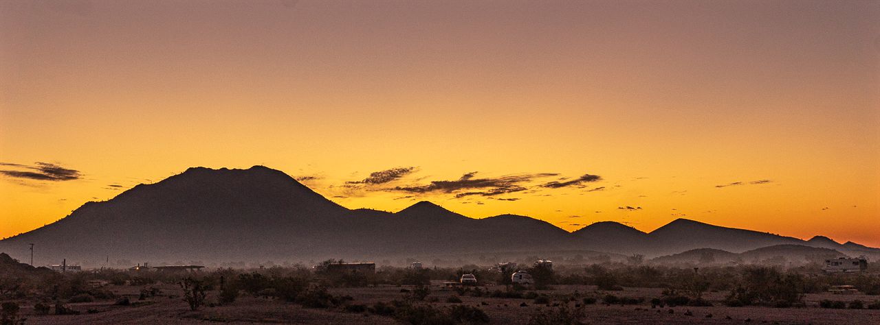
This morning, I rode Scarlett the 25 miles or so to the nearby highway junction town of Gila Bend after a pretty good sunrise:


The town, as I understand it, has basically been the junction point of travel technologies over the history of the region.  From wagons, to trains, and now auto highways, Gila Bend, has functioned as a meeting point.

I got some groceries and then toured the museum at the city's visitor center.

It's a small museum, basically contained in one large room that is part of the city's administration center/city hall.

Still, while a bit cluttered, it did answer some questions for me:

I'd never heard/read of the Gadsen Purchase, similar to the purchase of Alaska from the Russians, it was a way for the US to acquire additional lands from Mexico for a small amount of money.

I'd always thought the present borders were the result of the war with Mexico, apparently not.


I'd mentioned the wagons that settlers used to cross the country, all part of the "Manifest Destiny" vision....with all its bad parts and good as cultures clashed.

So, in case you ever wonder, in your readings of those times, what the difference is between Conestoga and Prairie Schooner wagons:


A pic of old telegraph keys, for RichardM:


I was unsure what the purpose was for this display as it displayed items from differing eras.

There was apparently, the Oatman Incident, somewhat explained below.  I had been wondering why the nearby mountain was called Oatman Mountain.  I wonder also if the below was also involved with the naming of the town of Oatman which Martha and I visited before.


 Rather strange and striking, the 
chin tattoo inflicted on her by her captors

There were a few historical photos as well, showing life back in the day, here's what must have been called "Glamping" back then:


Another historical item that is mentioned around the area, is the Mormon Battalion.  There was a brief mention of them and their purpose. 


The battle of the Bulls was something new to me, so I looked it up:  LINK

Leaving the museum, I stopped by the Solana Generating Plant, a solar energy concern on the road leading to the campsite.  Unlike other solar farms I've seen elsewhere, there were using some different tech to collect sunlight:


There's a road called Sisson Road on the way back to the campsite.  I motored down it to see what was there.  Not much, but eventually the road is bordered by a canal of sorts which feeds into irrigation canals used by the local citrus farms.

As I neared the water, I scared up into flight a bunch of white birds with the sound of Scarlett's engine.

I was surprised, and stopped to get these pics of one of the birds.  Egret?


The rest of the day was spent at the campsite, clouds moved in quickly and the forecasted rain is falling as I type these words.  Supposed to only have a .06" accumulation but this campsite won't be affected in terms of mud/traction even if it turns out to be more accumulation.

The clouds of course prevented any views of the sunset.

Friday, January 11, 2019

The Southwestern Sojourn - Day 47: Painted Rock Petroglyph Campground, Day 2

Decided to hang out another day at the campground after all.  It promised to be a sunny and warm day with some clouds.

Dawn came and while started clear, a low layer of fog moved through the valley as I waited for the sun to show itself.  It made for some nice lighting in spite of the lack of clouds overhead:


As the fog grew thicker, it made the nearby hills and distant peaks appear to be afloat on clouds.


 Oatman Mountain 


The fog got higher and partially blocked the sun as it finally peaked from behind the nearby unnamed hill/mountain.


After working in the morning, took a long lunch and rode out on a dirt road headed south of the campground, to see what I could see.

Turned out to be not much that couldn't already be seen nearer to the camp!  :)

Desert, sage brush, saguaro cacti, some small rocky hills....went as far as a dry river bed and then turned around.  The road got much rockier and steep going up a low flat hill and I wasn't feeling the urge to charge up the incline.

 Looking north back towards the campground, perhaps
a mile or so away.

 Looking south towards the low flat hills, the 
Gila River flows through the area...or rather, it's 
dry river bed shows where it flowed.

Back in the campground, I stopped by Group Area B (or was it A?) and found the "Golf Course".  

The campground provides you with assorted clubs and there's a small plastic bag with golf balls for you to hit.

I did not, partake but did take a picture.  After all, do you realize how hard it is to swing a club with a riding jacket on?  ;)


Got some lunch on my return, monitored things at work but it was Friday so things were quiet.

Puttered about the RV, installed the easy fill water kit onto the new house battery that I had replaced a few months ago.  It took a bit of water too so glad I did it.

Mostly, relaxed in the warm temperatures, staying in the shade at times, watching the amount of sun exposure even though I am developing a pretty good tan anyways.

Undecided whether to move on tomorrow or remain, I'll decide in the morning...at $8/night, it's not like its expensive to stay here.

And so far, the sunsets have proved to be quite nice.  Here's tonight's sunset:


Thursday, January 10, 2019

The Southwestern Sojourn - Day 46: Painted Rock Petroglyph Site and Campground

Left the Cottonwood Canyon Road BLM campsite today and found a spot at the Painted Rock Petroglyph Site and Campground about 15 miles west of Gila Bend, AZ.

It's a BLM campground, featuring nice big spots with space between the sites and pretty level as well.  For the $8 camping fee, there's pit toilets and a garbage dumpster along with a camp host.  Not bad.  It wasn't crowded, perhaps slightly less than half full.

It's right next to the Painted Rock Petroglyph site itself.

From wikipedia:  LINK

The Painted Rock Petroglyph Site is a collection of hundreds of ancient petroglyphs near the town of Theba, Arizona, listed on the National Register of Historic Places in 1977. The site is operated and maintained by the Bureau of Land Management (BLM), and includes an improved campground as well as an informative walking trail showcasing the petroglyphs.

I went a bit overboard on the pics of the petroglyphs, but instead of a bunch of pics to bore you with, here's a movie of them instead...hopefully a bit more entertaining.


A view of nearby Oatman Mountain
from the petroglyph site

I parked Uma, the URRV, pretty close to the mound
of rocks that is the petroglyphs site

One can see a trail going all the way to the top of Oatman Mountain so after setting up camp I rode Scarlett to see how far up I could get.  

Turns out, not that far.  There's a locked gate, the shot below is as close to the base of Oatman Mountain that I reached.

Near the locked gate to the trail up
Oatman Mountain

A view of the top of Oatman Mountain
from the access road

After leaving the Oatman Mountain area, I wandered over to the Painted Rock Dam but it too can't be reached due to locked gates put up by the Corps of Engineers.

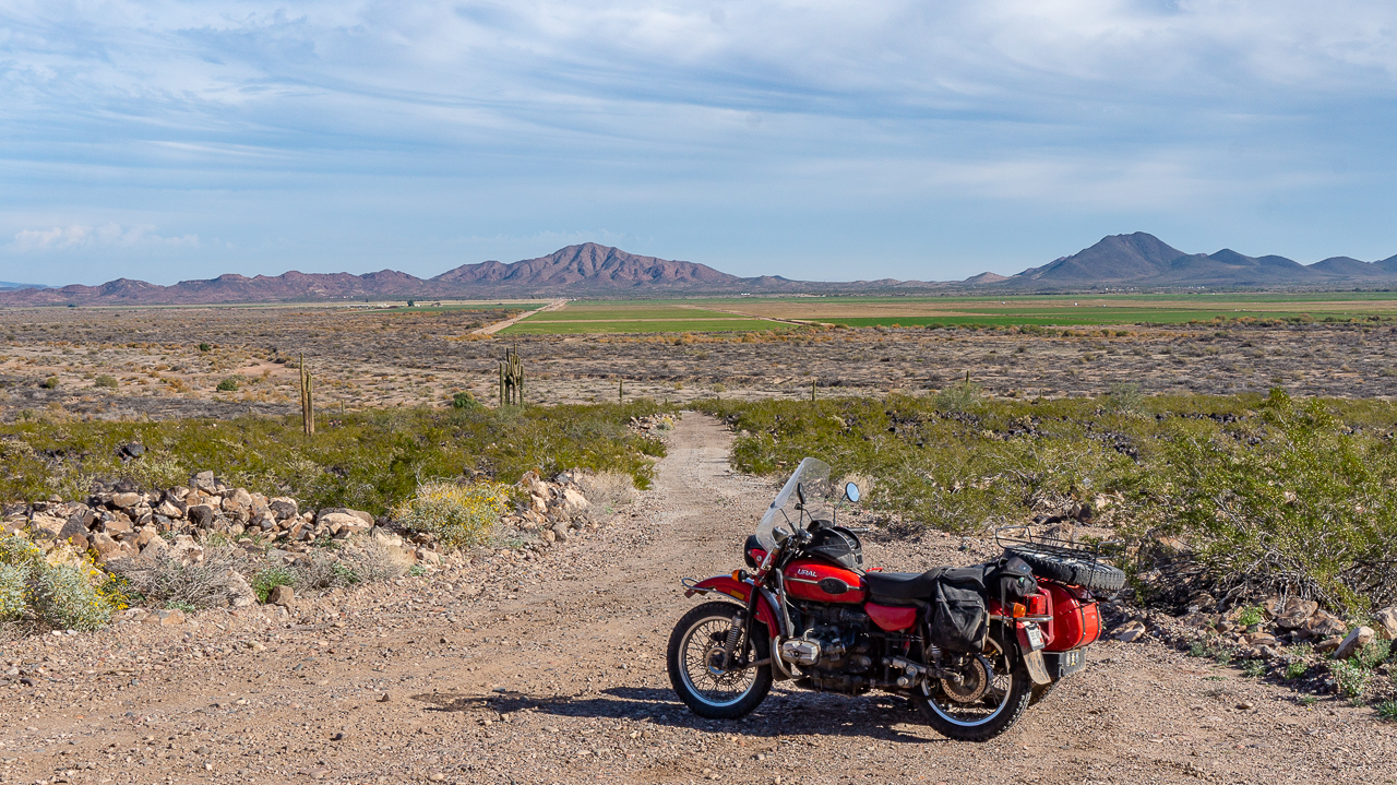
Returning back to the campsite, I took a slight detour onto what I think was BLM land (but not listed as camping area by allstays.com) to pose Scarlett with a nearby hill.

Sunset was a short wait after I returned, not a cloud in the sky, went for artsy shots instead.


I am unsure if I'll stick around one more day, and explore nearby Gila Bend.  I guess I'll make up my mind in the morning.

Wednesday, January 09, 2019

The Southwestern Sojourn - Day 45: Maintenance Day

A cloudy day with wind making the temperatures which reached the mid-60s seem cooler.

Still the clouds made for a nice sunrise:


Found there were tasks to be done on Scarlett, the 2014 Ural Sidecar Rig and I spent some time at the hardware store in nearby Florence, AZ sourcing the right bolt.

One of the two bolts which held the starter motor in place had fallen off and I noticed it this morning.  I think I failed to secure it properly while working on the failed clutch parts last month.  Sigh.

New bolt in place, cable adjustments needed to be done with the clutch cable as it had stretched a bit more as expected.

By the time the above was done, and travel time to/from Florence....no time to pack up the URRV and move to the next spot.  Tomorrow I move west about 140 miles.

Work and chores occupied the rest of the day, finishing off with a glorious sunset to again see me off this BLM site as I spent the last night here.