Today was spent mostly driving the Sammy around the southern boundaries of the Cibola National Forest, about 20 miles or so from the campsite.
The objective was to get as close as possible to two prominent mountains in the immediate area, San Mateo Mountain and Vick's Peak.
In the first picture, San Mateo Mountain is the second highest peak, with Vick's Peak being the tallest.
From CR 139 I found a road numbered 377 which would end up taking me pretty close to the mountains in question. Here's views of the peaks as I got nearer and nearer.
I took a very slight detour to pose the Sammy on the edge of a cliff.
Continuing on, it was two more ridgelines worth of up and down driving until I got to this point:
According to the GPS map, there was still about three miles to go and I decided to turn around at this point. Didn't want to push my luck too far you see, as there was no cell signal for quite a while now. Besides, you can see the foothills beginning to obscure one's view of the mountains. A phenomenon I'd run into a lot back in Colorado. I must remember to activate the Personal Locator Beacon for this trip so I can call for help when cellular signal isn't available.
Some views on the way back the way I came:
Remember me posing the Sammy on the edge of a cliff, here's the cliff in question:
At the next hairpin turn, I spotted what looked like a recessed cove of sorts. I parked the Sammy within it and found a small creek! Someone had run a water hose to it and installed some metal rungs that I used to climb up partly up to see.
Here's what you see while about halfway up the rungs, I didn't climb up the whole way, it was a bit precarious while toting camera gear. I'm thinking there's a spring further up the hill....
An example of the large grasshoppers I kept finding on the trail and here at the spring. Big bugger.
The hose I saw led to this water cistern. Water there is kept I think for cattle to drink from? It sure didn't look OK for human consumption but I suppose if I was dying of thirst.....
Got back to camp with no issues, I'll be activating the Personal Locator Beacon plan tomorrow morning so I don't have to turn around when there's no cell signal.
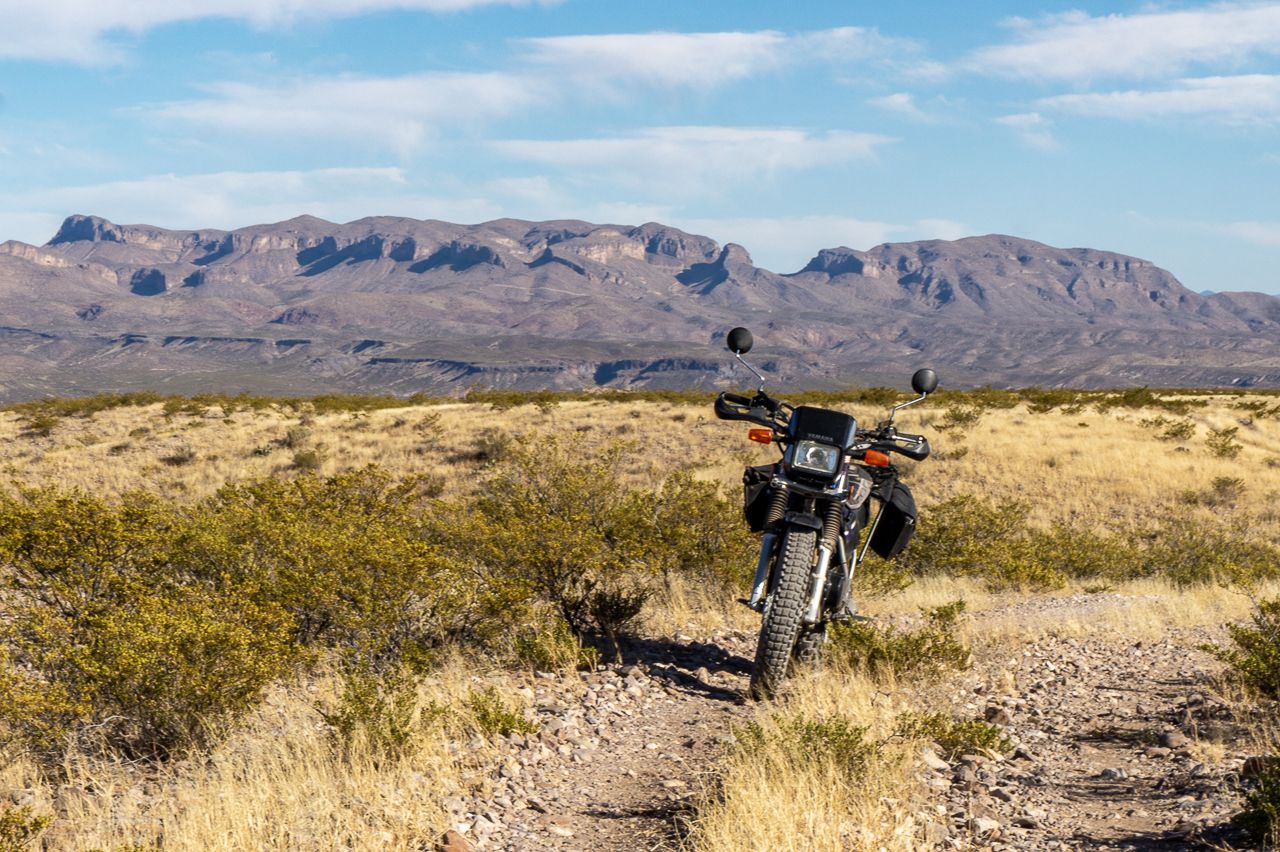
In the afternoon, after a late lunch, I took Yagi, my TW200 for a short ride on Monticello Road heading towards the state park. Took a slight detour to check out a trail and ended up posing her:
I think tomorrow will be Yagi's turn for some exploring.


6 comments:
You really make the best out of your time out there, Dom. Sometimes I wish I could do the same and just leave to enjoy the outdoors...
Thanks SonjaM, sometimes I feel the exploration bug, sometimes I just hang out.....just waiting for Martha to retire in a few years and we'll hopefully do some exploring together.
Nice to get out and stretch. The personal locator plan, is that the spot?
BeemerGirl, close, it's the Inreach Mini with the Garmin Safety Plan.
Nice collection of photo today. Looks dry, but not cold?
Thanks CCjon, it was nice and warm.
Post a Comment