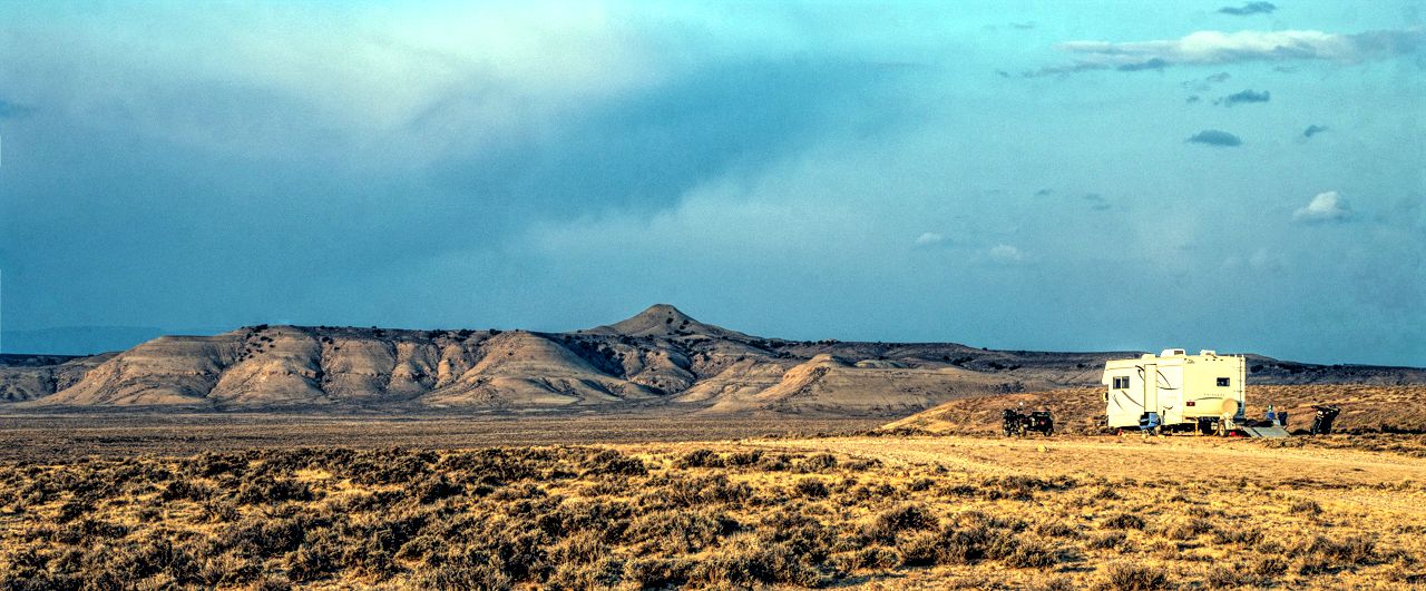
Friday, September 18
Another very hazy day today, once again Lightroom and Pixlr to the rescue.
Rode out after 10AM once it hit 60°F (15.5°C) under sunny skies and very hazy conditions on the horizon.
I drove Fiona north on WY 530, the road which parallels the Flaming Gorge Reservoir all the way from Green River to Manila, UT until I reached the Firehole Canyon Overlook almost a mile north of the Lost Dog road.
Did I mention it was hazy? I'm sure on a clear day, the overlook provides a nice view into Firehole Canyon, today it was just blues.
Mid-morning view from Firehole Canyon Overlook
The original version after cropping to match and only
applying "Auto" settings in Lightroom and exporting
as JPG from original RAW format
I'd "dropped a pin" where I thought would be a good overlook point for the Chimney Rocks which are on the east side of the reservoir using Google Maps. It actually plotted a route for me using Lost Dog Road, then FR 167 to FR 168.
A pic from the end of FR 168
The original version after cropping to match and only
applying "Auto" settings in Lightroom and exporting
as JPG from original RAW format
Back tracking a bit, I decided to try going further towards the water on FR 179 and got a much better view of both North and South Chimney Rocks. The thicker of the two is the North rock.
The original version after cropping to match and only
applying "Auto" settings in Lightroom and exporting
as JPG from original RAW format
Wandering a bit further down, I parked Fiona then walked closer to the edge of the cliffs for this shot of Firehole Campground:
Not to shabby a location for a campground eh?
There appears to be a paved road leading to it!
Note the boondockers on the beach....looks like a great location
though I doubt there's cell signal down there.
Update: It's confirmed: zero signal down there.
Some of the rock formations I saw as I made my way back the same way I came in, it was quite warm at this point and I was tired. So when I saw another trail that led down towards the below rock formations, I didn't turn and just kept going back to the highway.
Back on WY 530, I returned to the Firehole Canyon Overlook to see if viewing conditions had improved. They were still very hazy but a bit better:
I may, possibly, go back to that other road which led into that interesting bunch of rock formations but not sure. If I do, it'll be on Yagi. The roads I took today on Fiona were quite doable on a Ural but Yagi would have been a better choice.
Rested away the rest of the day, doing some light exploring riding Yagi and checking out some of the trails around me. The sky went fully overcast and gray mid-afternoon and remained gray the rest of the day, no good light for pics.
The wind picked up briefly, but has now died down as well. Too bad, was hoping it would clear some of the haze and smoke from wildfires to the west of here.